Captures
We capture reality today, to shape change for tomorrow.

4Band and Thermal Imaging

4Band RGBi Vegetation Classifier

Abrolhos Island

Bass Coast Mining

Canopy Coverage Modelling
Canopy Detection Grid

Catchment Elevation Model

Coastline Spatial Vectorisation

Coral Reef

Coral Reef – Abrolho Islands

Creek and Vegetation Colourised Point Cloud

DEM Tailings Elevation Model

Digital Elevation Modelling

GIS – Mining Outback WA

Harbour Infrastructure

Infrastructure – Barrow Island

Kalgoorlie WA
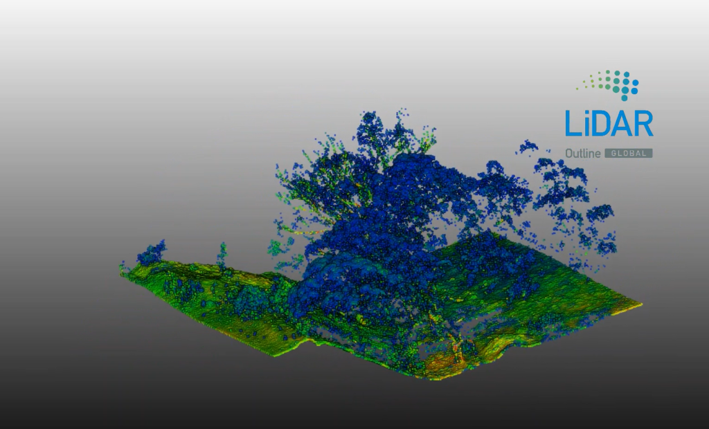
LiDAR Canopy Scan

Stereo Digital Elevation Model

Great Ocean Road, Lorne, VIC

Mine Operations

Mine Site Contour Mapping

Mining ESG Reporting

Mining Infrastructure

Mining Tailings

Multispectral Crop Health
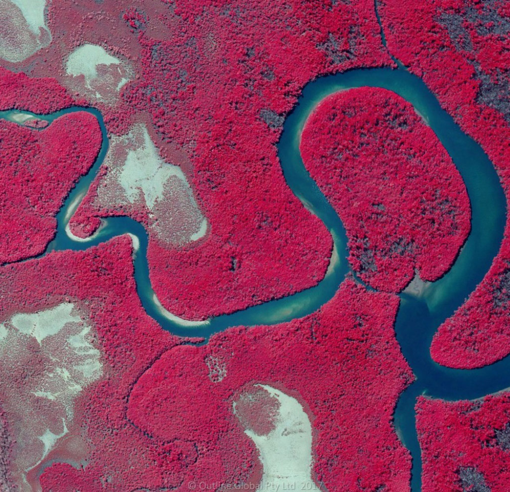
Multispectral Wetlands Health

Oil and Gas Infrastructure
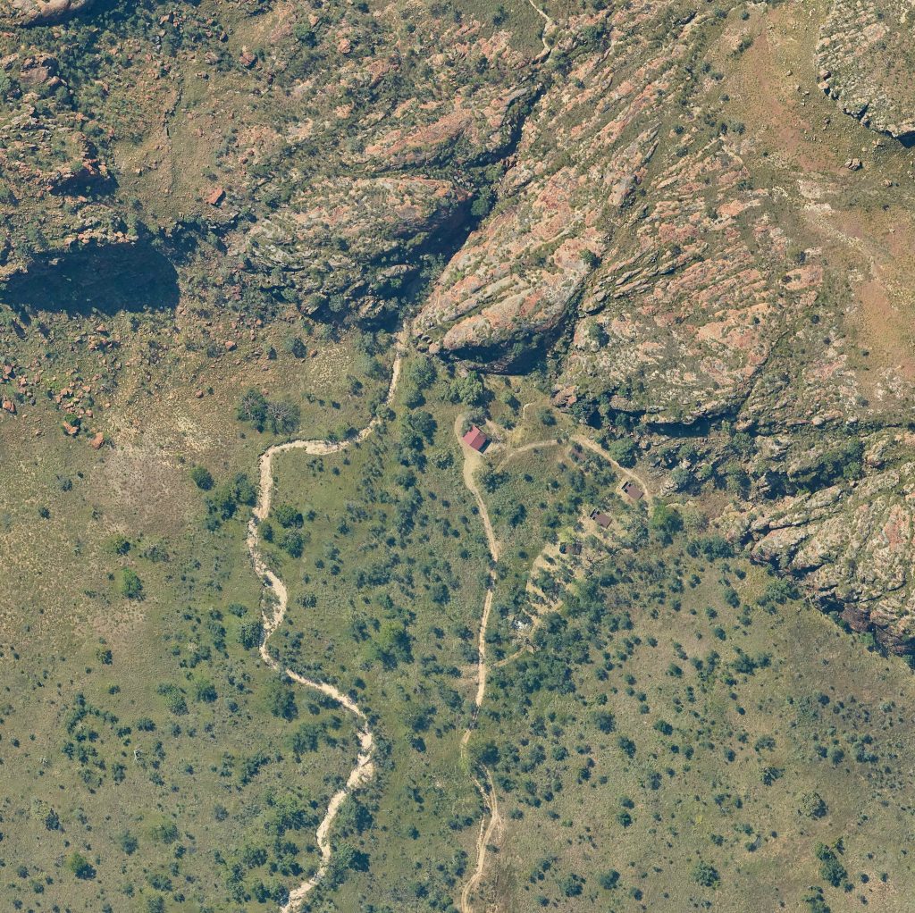
Outback Rural Community

Pilbara WA

Point Cloud Classification
Pole Top Transformer Thermal

Queenscliff Thermal Imaging

Sea Grass Mapping – Cockburn

Telfer DEM Extraction

Torquay, VIC

UAS Inspection Image

UAS Media Image

Urban Asset Laser Scan 10ppsm
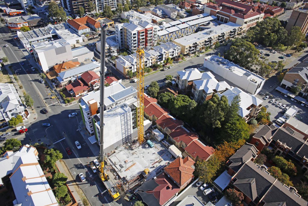
Urban Development Progress
